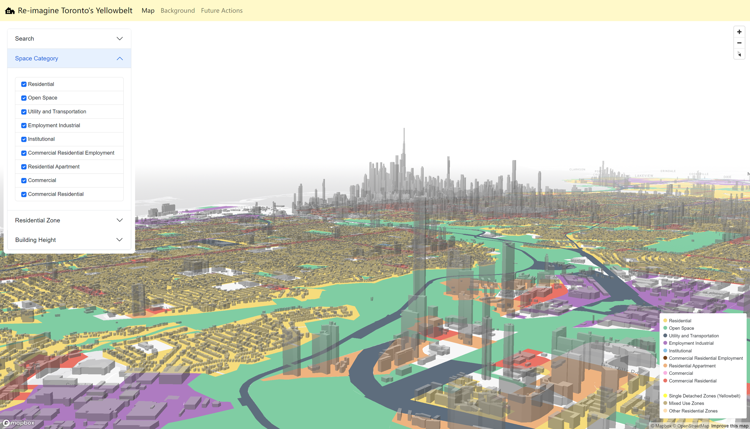
The web map “Re-imagine Toronto’s Yellowbelt” provides an interactive exploration of Toronto's residential neighborhoods and zoning regulations, focusing on the Yellowbelt areas where strict zoning laws limit higher-density housing development. It features a detailed map displaying building height distributions, zoning designations, and average building heights by neighborhood through choropleths. The map allows users to toggle between different zoning categories and residential zones, offering insights into the housing landscape’s density patterns. It addresses the city's housing crisis by highlighting the concept of the ‘Missing Middle’—a range of housing types crucially absent between single-family homes and large apartment buildings. The web map also showcases potential areas for future middle-density development and innovative solutions for transforming single-detached homes into multiplex units, aiming to educate and empower stakeholders interested in Toronto’s housing market challenges and alternative housing solutions.
